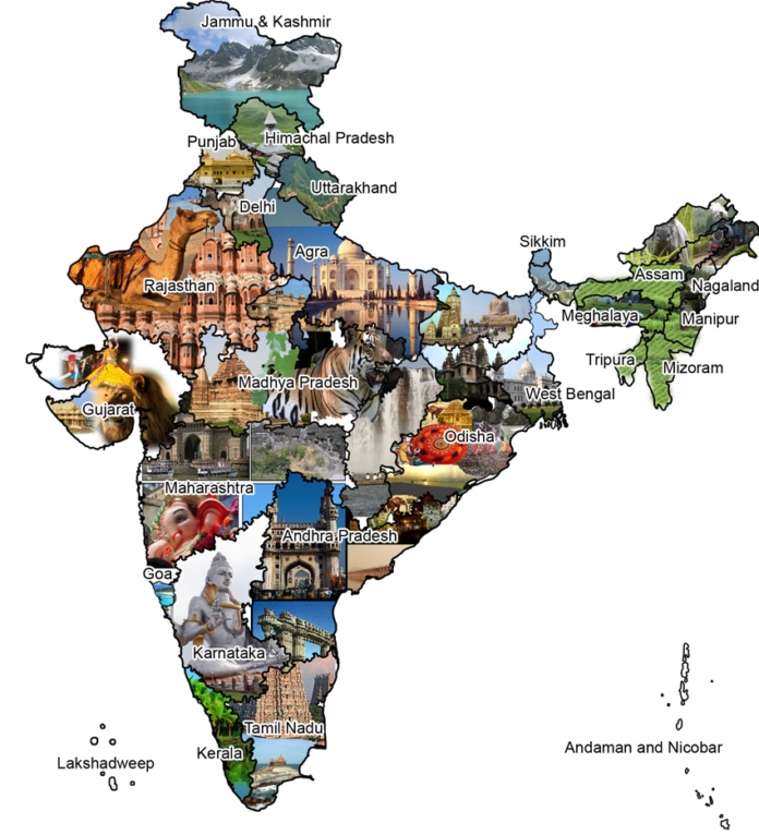
village Roads India have been developed in India for the last 5000 years. Ashoka and Chandragupta were the first who made attempts to construct roads in ancient time. Mughals founded the main base for constructing good roads. It was in Mughal rule when more number of roads were constructed. Since then roads have been playing an important role in Indian economy.
Road Transport in India:–
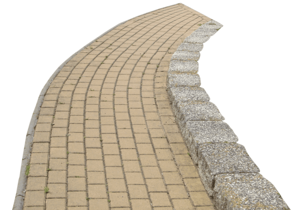
A good road network is the basic necessity of every country. A good road network is required for the rapid development of the society. Road transport has many more advantages than other transport routes.
Related :-
Warehouse and Small Temporary Storage Rental Services
Truck Rental Services
Crane Rental Services
Let’s have a look at the benefits of road transport India :-
1) Roads play a vital role in transporting goods and Commercial Needs for short and long distance.
2) Road transport is quite flexible than railways. Road transport vehicles can reach every corner of the country. Vehicles can be stopped at any place for unloading and loading goods as well as for carrying Consignments.
3) Road transport easily connects with villages, factories, farms, different markets and even reach the door.
4) Roads can also be laid on hilly areas where as it is almost impossible to lay railway tracks there.
5) Household needs like vegetables, fruits, medicines can be transported more easily through road transport.
6) It is cheaper to construct roads than railway tracks and airways.
India has one of the 2nd largest road network in the world , of around 33.14 lakh km which consists of National Highways(NHs), State Highways(SHs), Major District roads(MDRs), Rural Roads(RRs) including other district roads and village roads .
Since Independence government has taken major steps and planned accordingly to modernize roads and increase its area every day. Let’s look at the different plans involved for the betterment of roads.
Nagpur Plan Road Transport :–

A twenty year plan was initiated in 1943 in the meeting of Chief Engineers from various parts of the country at Nagpur to strengthen transport of India . Under this plan kilometres of major roads were increased to 1,96,800 km and other roads to 3,32,800 km by 1953. The main aim of this plan was that no village in developed agricultural region should be more away than 8 km from a major road or 3km from away from other road.
Related :-
Advantages of road transport :- Please Click
Disadvantages of road transport :- Please Click
Oversized Load Transportation Problems :- Please Click
Twenty Year Plan Road Transport :–
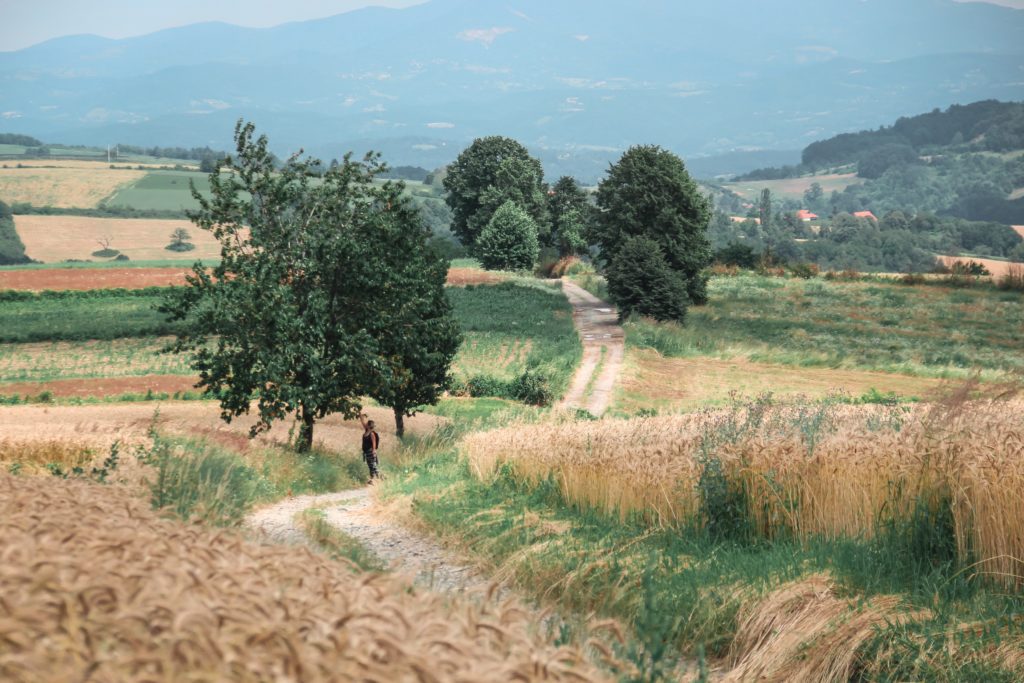
A Twenty year plan was initiated in 1961 after the successful completion of Nagpur Plan. Its aim wad decide to increase road length from 6.56 lakh km to 10.60 lakh km by 1981.
Other objectives of this plan were:-
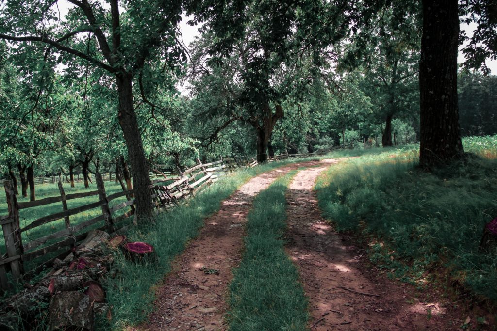
- Every village roads in developed agricultural area should be near to 6.4 km of a metalled road.
- Villages in semi developed area should be within range of 12.8 km of metalled road.
- Undeveloped and uncultivated villages should be within range of 19.2 km of metalled road.
Rural Development Plan :-
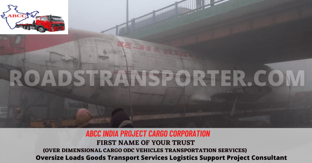
The aim of this plan was to connect villages having a population of 1500 or more with all weather roads and that having less than 1500 with link roads under various programmes like Minimum Needs Programme (MNP), Rural Landless Employment Guarantee Programme (RLEGP), Jawahar Rojgar Yojana (JRY) and Command Area Development (CAD).
Recommended :-
Transport Department :- Please Click
History of Transportation :- Please Click
Importance of transport system :- Please Click
Build Operate Transfer :-
This is scheme is the regarded as one of the best scheme announced by Indian government. Under this scheme a private firm is invited and allowed to build good quality roads at their expense. After constructing the roads they are allowed to collect tax from the road transporters and passenger for fixed amount of time to recover their expense and gain profit. After that they transfer the roads to the government. The National Highways Act has been amended to facilitate private investment in construction under BOT scheme.
Central Road Fund (CRF) is raised for the maintaining and constructing new roads. From June 2, 1998 excise duty of 1.50 RS per liter is imposed on petrol and from February 28, 1999 same duty was imposed on High Speed Diesel (HSD) under CRF act. Government collects around 5,500 crores through this taxes.
In 2000 Central Road Fund Act was enacted in December 2000 with objective to provide regular and sufficient amount of fund for the betterment of roads.
The act gives Center government the authority to administer, maintain, and release fund for the following:-
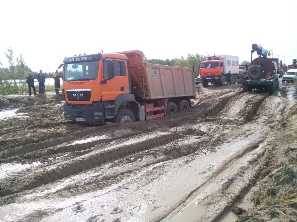
- For the development for rural roads.
- Developing and maintain National Highways.
- Constructing under/over bridges and safety gates at railway crossings.
- Developing and maintaining state roads.
Classification of roads India :–

Under the Nagpur Plan roads in India were classified in four categories :-
- National Highways
- State Highways
- District Roads
- Village Roads
National Highways India :-
This roads are constructed and maintained by Central Public Works Department (CPWD). These are roads are interconnected with states, big cities, ports, railway junctions, and connect border roads.
The length of National Highways was 19,811 km in 1951 and reached 33,650 km in 1991 and 49,585 km in 1999.
National highway are running across the country from north to south and east to west connecting all important places.
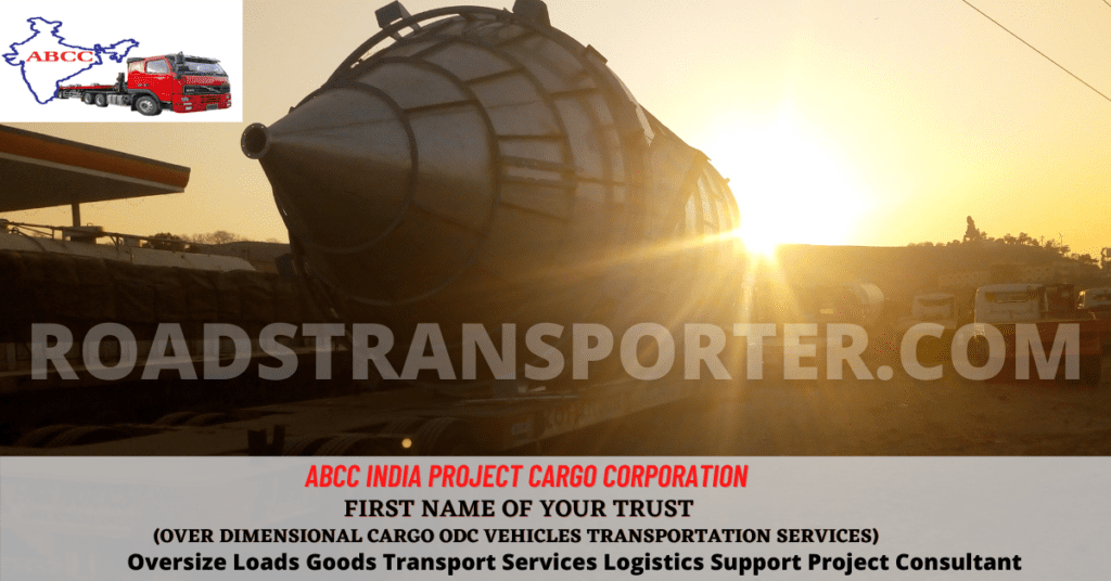
List of some major national highways is given below:-
- National Highway 1: Connecting Delhi and Amritsar
- National Highway 2: Connecting Delhi and Kolkata
- National Highway 3: Connecting Agra and Mumbai via Gwalior, Indore and Nasik
- National Highway 4: Connecting Thane and Chennai
- National Highway 5: Connecting Bahargagora and Chennai
- National Highway 6: Connecting Dhule and Kolkata
- National Highway 7 (The Longest One): Varanasi to Kanniyakumari via Jabalpur, Nagpur, Hyderabad, Bangalore and Madurai.
State Highways India :-
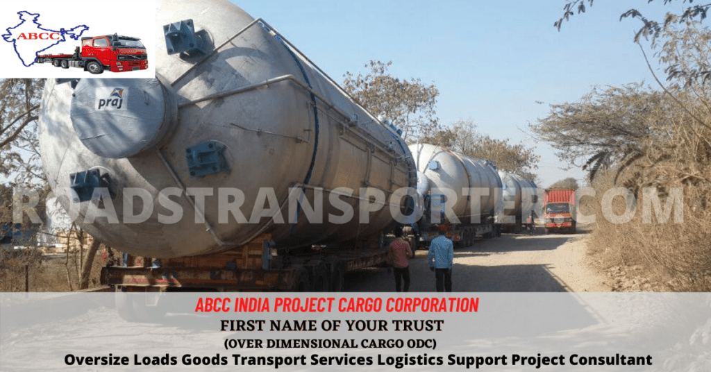
The construction and maintenance of this roads is done by state government. These roads join the capital of states with major district headquarters and other cities. These roads have direct connection to National Highways. The length of state highways was 56,765 km in 1971 and it was 1,37,950 km in 1999. Means in three decades the length of state highways was more than double.
Central Road Fund of 2000 provides amount of about 1,000 crore to state government for the development of this roads.
State highways are unevenly distributed among the states. Maharashtra had the longest state highways 33,223 km in 1999, next was Gujarat with 19,796 km, Madhya Pradesh with 11,780 km, Rajasthan with 10,047 km. Smallest states like Goa, Mizoram, Sikkim, Nagaland, Tripura etc have less than 500km length of State highways.
District Roadways India :-

These roads are well connected in between districts of state. They connect cities and different market & production center to National highways. Zila Parishads has the responsibility of developing and maintaining district roads. Length of district roadways has increased up to more than four and half times from 1951 to 1999.
Village Roads India :-

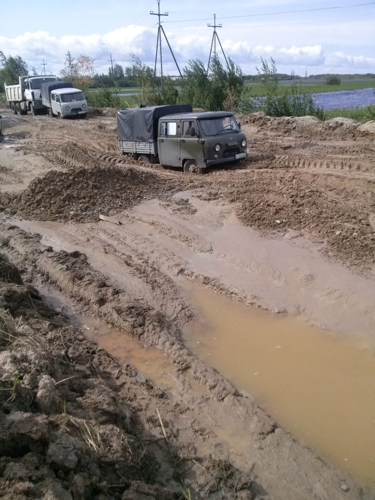
Village roads connects different villages to main neighboring cities and town. These are the responsibilities of village panchayats. These roads are generally of low quality as the traffic is less in village areas. These roads generally become useless during monsoon season.
From recent years efforts have been made to connect village roads with metalled roads. The length of these roads was 2,06,408 km in 1951 which has increased to 10,28,410 km in 1999 which means length of these roads has increased five times.
Still about 10 percent of village having population of 1000 or more and 60 percent villages having population of less than 1000 is not connected with all weather roads.
Central government launched a scheme named Pradhan Mantri Gram Sadak Yojna (PMGSY) was in December 2000. This scheme was focused on connecting unconnected villages with less than 500 population to the State Highways or National Highways by the end of Tenth Plan period.
These government schemes and funds has benefited the country through various years. Much development had been made in the road transportation sector. Most of the villages are now connected to major cities where they can easily go and sell their agriculture produce.
The connection between different states had ease the road transportation which boosts the Indian economic through transferring of different raw materials, factory produce, etc. It has become easy for the normal people to travel different locations which can be more hectic through railways.
Besides the above major classified roads there are more roads whose consideration were taken later:-
Border Roads India :–

Border Roads Organisation Board was set up in 1960 whose work was to accelerate the economic development and to strengthen defence activities by connecting important roads and thus increase north east India transportation.
International Highways India:–
International roads connect India with neighbouring countries. These roads are funded by World Bank. Some of the major International Highways are :

- Lahore-Mandalay (Myanmar) route passing through Amritsar-Delhi-Agra-Kolkata-Golaghat-Imphal
- Agra-Gwalior-Hyderabad-Bangalore-Dhanushkodi road
- Barhi-Kathmandu road
- Agra-Mumbai road
- Delhi-Multan road
- Bangalore-Chennai Road
- Golaghat-Ledo road
Problems and Prospects in Road Development:-

Transport in India has developed to a great extent but still it faces some problems. The growing population and traffic in India always add demand of constructing more roads. Heavy hauling of large vehicles have also been issue in maintenance of roads. Heavy hauling reduces the strength of the roads.The road length of India 75.01 km per 100 sq km area is very low compared to 294.6 km of Japan, 131.2km of Austria, 451.8 km of Belgium, 147.2 km of France and many more developed countries. Another problem in road construction is the surface level in India is uneven and unsurfaced. It takes a lot of labour to level the surface.
Related :-
Trucks Truckers and Trucking
Goods Transportation Problems
Logistics Overview
Logistics Park
About 20 percent of National Highways need to be widened from single to double lanes and 70 percent of two lane roads need to be converted into Expressways. The main challenge in road sector is to prepare all weather roads connecting each village with State or National Highways. The roads in village areas need to be strengthened for carrying large volumes of agricultural products to the city areas. And all these need more funds allocation to the development and maintenance schemes.
One more factor to grow more road construction is rapidly increasing vehicle number and eCommerce. The roads have failed to meet the increase in vehicles. This gives more traffic jams, delays, deterioration of roads. The number of vehicles is going increase more rapidly in near future and we need roads which can ease the flow of traffic and play an important role in development of country.
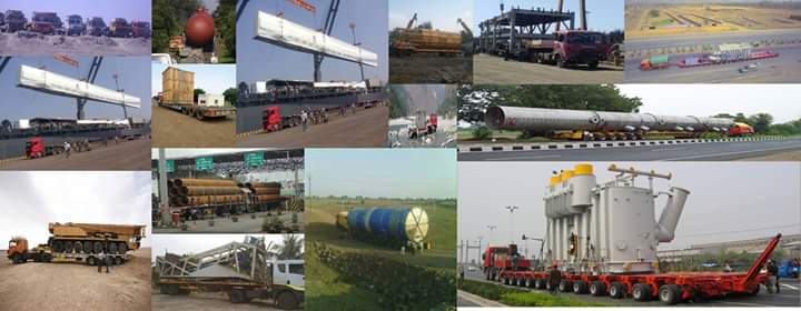
Click and follow our page for regular upgraded and latest news about Road Transportation Service :- Please Click
Advantage Our Pro Membership :-We provide advanced support to our pro membership clients in Transportation, Logistics, Warehousing, Finance etc….
Recommended :-
- Please click and See Our Endless Journey – Please Click
- Manufacturer association in India – AIAI India ( www.aiaiindia.com )
- Merchants manufacturer industries manufacturing companies
- Difference between sales and marketing
- Fraud Cases and Examples in Business
- Business Problems and Solutions
Public frequently asked questions (FAQs) :-
What is a village road?
A type of low-cost road that is constructed in rural areas at low funds utilizing the local materials and manpower is called Village Road. It is also called Rural Road. The village road is a low-quality road that is constructed to connect nearby villages or district roads.
Who is responsible for making village roads?
The state governments, too, have been made responsible for the maintenance of roads in rural areas for a period of five years.
Are responsible for village roads?
A large part of the rural road network is maintained by local bodies including Panchayat Unions, Panchayat Samities, Panchayats, Community Development Blocks etc. Roads maintained by these agencies are generally unsurfaced and narrow, many a time only a foot path or cart track.
What are village roads in India?
Village Roads These roads serve as the feeder roads as well as the roads for inter village movements. They pass through rural areas connecting the village to one another and to the nearest road of higher category viz. District Roads, State Highways and National Highways etc.
Which roads are all weather roads?
Metalled roads are made of cement concrete or even belumen of coal. They do not go out of use in the rainy season. Therefore they are called all weather roads.
What are the rural roads?
What are rural roads? Rural roads in India are commonly referred to as: Other District Roads (ODR): These are roads serving rural areas and providing them with outlets to market centres, block development headquarters or major district roads. They connect villages with a population of 1000 and above.
What is the importance of rural roads?
They play an important role in poverty alleviation in rural areas, enable transportation of men, material and goods, lead to diversification of agricultural activities and boost rural as well as overall economic growth of the country. Thus, rural roads form the backbone of the country’s growth.
What is rural area?
A rural area is an open swath of land that has few homes or other buildings, and not very many people. A rural areas population density is very low.
What are the types of road bases?
Types of Base for Pavement Construction
Cement Treated Base.
Unstabilised Base.
Asphalt Treated Base.
Lean Concrete Base.
How many types of roads are there?
Roads are classified into two types considering topography they are Hilly roads and Plain roads.
What is alignment of road?
The alignment is the route of the road, defined as a series of horizontal tangents and curves. The profile is the vertical aspect of the road, including crest and sag curves, and the straight grade lines connecting them.
What is road base used for?
Base materials can be granite roadbase, crushed gravel or limestone, which are then compacted to form a hard surface. They are frequently used in the construction of roads, paving substrates, hard stands, parking areas, footpaths and driveways.
What is the oldest road in the world?
The road to Giza is the world’s oldest known paved road. Located on the west bank of the Nile, southwest of central Cairo, at over 4,600 years old, it was used to transport the enormous blocks of basalt for building from the quarries to a lake adjoining the Nile.
What is the middle of a road called?
The median strip or central reservation is the reserved area that separates opposing lanes of traffic on divided roadways, such as divided highways, dual carriageways, freeways, and motorways. The term also applies to divided roadways other than highways, such as some major streets in urban or suburban areas.
What are side roads called?
A frontage road (also known as an access road, ”’ outer road”’, service road, feeder road, or parallel road) is a local road running parallel to a higher-speed, limited-access road. A frontage road is often used to provide access to private driveways, shops, houses, industries or farms.
What is difference highway and road?
Highway is a generic term given to roadways which connect important cities; towns etc, and usually have 4 lanes to provide high speed traffic. But expressway is a high speed road with little access and consists of several facilities like access ramps, lane dividers etc.
What is district road?
District roads means highways, streets, roads, alleys, intersection improvements, sidewalks, bike or cart paths, crossings, landscaping, irrigation, signage, signalization, storm drains, bridges, multi-use trails, lighting, and thoroughfares of all kinds.
Who maintained district road?
The construction and maintenance of district road are conducted by Zila Parishad and PWD (Public Works Department).
How is road base calculated?
Manual Calculator
Multiply the length of the area by the width of the area = Square Feet.
Multiply Square Feet by the Depth* = Cubic Feet.
Divide Cubic Feet by 27 = Cubic Yards.
Multiply Cubic Yards by 1.5 = Tons Needed.
Which is the largest road in India?
National Highway 44 – It is the longest national highway in India with a length of 3,745 kilometres running from Srinagar in the north to Kanyakumari in the South.
What and why purpose of roads?
Roads are the arteries through which the economy pulses. By linking producers to markets, workers to jobs, students to school, and the sick to hospitals, roads are vital to any development agenda. Since 2002, the World Bank has constructed or rehabilitated more than 260,000 km of roads.
What is road ?
road is a wide way leading from one place to another, especially one with a specially prepared surface which vehicles can use. Roads consist of one or two roadways, each with one or more lanes and any associated sidewalks and road verges.

